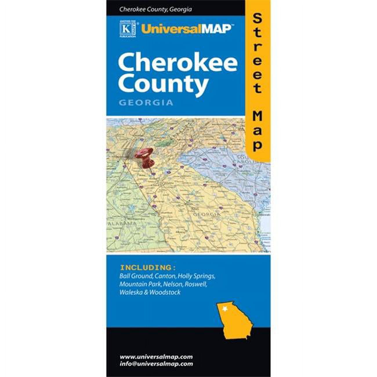
Universal Map 76255813 Cherokee County GA
Product details
| Management number | 254490718 | Release Date | 2026/11/07 | List Price | US$4.84 | Model Number | 254490718 | ||
|---|---|---|---|---|---|---|---|---|---|
| Category | |||||||||
The Cherokee County, Georgia Street Map by Universal Map features a Cherokee County Area Map and includes Ball Ground, Canton, Holly Springs, Mountain Park, Nelson, Roswell, Waleska and Woodstock. Includes complete indexing, all streets, highways, educational facilities, government buildings, post offices, fire and police stations, zip codes and boundaries, shopping centers, hospitals, airports, cemeteries, recreational parks, Golf and country clubs, points of interest, railroads, water features, mileage circles, and longitude and latitude lines.- SKU: UNMAP0726
- Street Map, Birmingham, Alabama
- Including: Adamsville; Alabaster; Bessemer; Fairfield; Fultondale; Galera; Gardendale; Helena; Homewood; Hoover; Hueytown; Indian Springs Village; Irondale; Leeds; Maytown; Midfield; Mountain Brook; Pelham; Pleasant Grove; Sylvan Springs; Tarrant; Trussville; Vestavia Hills & Neighboring Communities. Featuring: airports; golf courses; parks; points of interest; schools; street index; zip codes. Universal Map is a leading publisher and distributor of geographic information for the United States. In addition to a full line of travel products, we offer a variety of specialized product resources, including custom wall maps, atlases & demographic mapping solutions. Visual Voyage educational reference materials bring the world of geography to students of all ages. Business mapping solutions help businesses and government with GIS and internet mapping, promotional maps and more.
| Map type | City Map |
|---|---|
| Subject | Cherokee County GA |
| Brand | Universal Map |
| Form | Books |
| Color | Multicolor |
| Age group | Teen, Adult, Child |
Bestseller ranking
Maps & Instructional DVDs

Correction of product information
If you notice any omissions or errors in the product information on this page, please use the correction request form below.
Correction Request Form